The Rivers Trust want to rip out weirs as do many other groups including the Wildlife Trusts to improve the ease of fish migration up and down the nation’s rivers. I and Clean Rivers Trust are more ambivalent, as are the Environment Agency.
Many structures in rivers are old, some have purpose and others that are past their use by date. The Environment Agency maintain a network of river gauging weirs that allow precise flow measurement and are sacrosanct. Others are archaeologically important or help to maintain navigations. Others protect utility uses that are not immediately evident or serve purposes that are not immediately evident.
These two sets of photographs taken in the middle of June 2021by Stephen Joynes of Operation Otter show some unusual concrete work that needs some explanation, some of which is speculative as their uses have been combined over a period of years.
Alongside this spectacular array of poured concrete, you can see the work carried out by the local Internal Drainage Board.
River Witham near Beckingham.
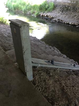
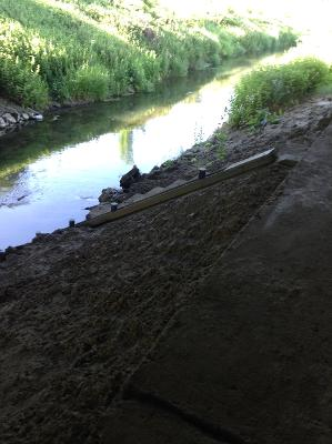
These photographs show a small section of the River Witham that is well formed by concrete. Almost hidden from view beside and beneath a modern road bridge can be found a water flow gauging point, steps down to the measuring staff and more remarkably an electrical cable encased in steel and part buried in cement and silt.
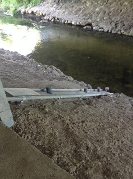
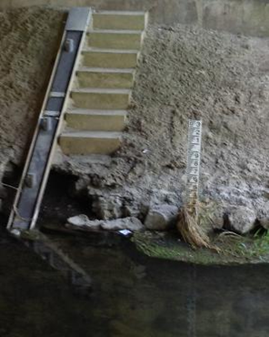
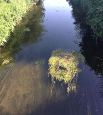
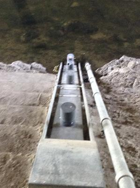
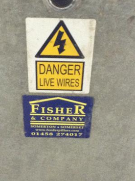

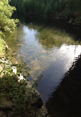
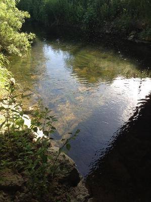
The river is kept clear of silt and the banks clear of reed growth by the Internal Drainage Board so water can be taken down stream and away. The river is canalised for the same purpose. This is not a beautiful aspect of a river. However large or small a waterway may be there will always be some point along their length where people impinge dramatically on its form and nature. Hopefully, this work may be done with thought and feeling for the nature of a river, unfortunately for this one that has not been the case. Here low cost, no care and utility have been the guiding goals of the exercise.
Looking at the water itself you might observe a little growth midstream, algae and bacteria developing, signifying the presence of nutrients within the chemistry of the flow. The sources are simple, farm drainage and rural and other sewage systems rich in nitrates.
In a set of photos that do not do much to gladden the heart, there is one aspect that they demonstrate: no litter. none on the bank side and none floating or on the bottom. There are fish present, including Brown trout, we know but it is hard to understand how such a suite could have been built in such a mean spirted way.
River Brant
Close by the Witham flows one of its tributaries the Brant, a stream that lives up to its Ancient English name of being steep sided. The Internal Drainage Board ensures it! The river runs 14 miles in length and drains the mire and fen country to the east of the River Witham. It is a rural river with no apparent need of high-end engineering, but it has all the same been deemed liable to suffer some serious poured concrete and even tubular safety rails.
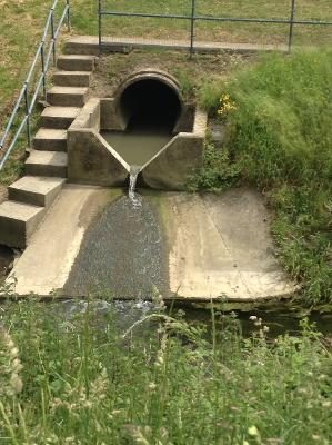
This photograph shows a state-of-the-art sewage treatment outflow, located at Brant Broughton. The series of V notches and what appears to be storm tanks is impressive. So different o the dribbling outfalls of storm drains one might see on Twitter feeds. The river water shows signs of improvement down stream of the outfalls. The concrete though unattractive is well done and serves its functions well.
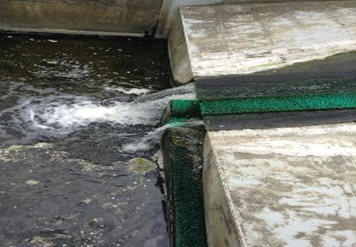
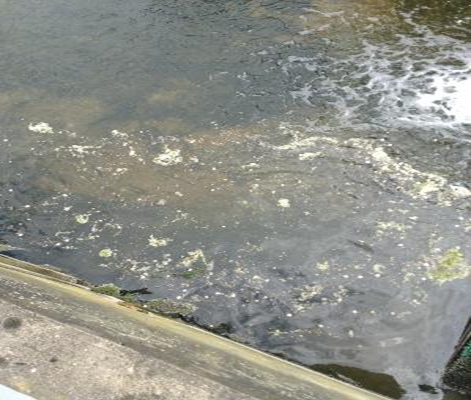

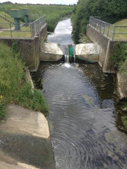
The system of treated water, land and storm water drainage concentrated in an isolated site are unexpected in their formality in the middle of nowhere. No litter4, no sewage fungus. If such a match can be well judged this appears to have been made in sewage heaven.