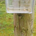
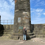
The first mines were likely bell pits on the site of our Cinderhill research site. Any evidence though has been lost due to the surface layers of topsoil, clays and much of the surface outcrop coals being stripped from the site. There are though at least six coal pit shafts that worked the Kilburn seam of coal still uncapped to one degree or another within the area in which our research takes place.
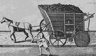
The pits on our site were originally linked to the tram system of horse drawn wagons that took coal from the area to either the Cromford Canal towards Nottingham or, which was more usual to Belper and then loaded onto barges to serve the Derby market and beyond.
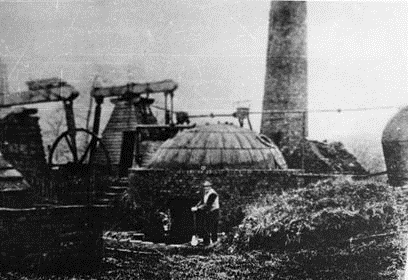
Bassett Pit Newcomen Pumping Engine at Cinderhill, Derbyshire. The copper globular boiler vessel was manufactured in 1796 and is now in the Science Museum, London after being found in a Ditch at Park Hall in the 1950s.
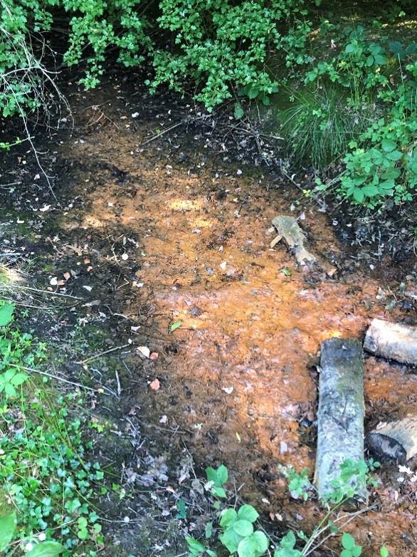
One mineshaft has come to our recent attention due to ochre appearing in the area where we know one shaft to be. This discharge demonstrates that there is some direct access to the shaft and that the high rainfall earlier in the year has allowed iron rich water to overtop the mine shaft top.
The photographs and explanations outline the situation on site.
The shaft marked by the purple arrow is the location of the photograph taken of a minewater seep that was photographed during wet weather in the summer 2021.
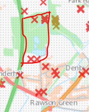
The three shafts marked to the east of the shaft commented upon above are known to have been sealed with railway sleepers and waste material placed over in the 1960s. One shaft top is visible and may now be reopening whilst the two others are yet to be firmly placed with their exact location and condition. This pit is known as Bassett, sunk in 1817. The marked shaft being sunk earlier and certainly prior to 1796 when the pumping engine would have been first installed and moved to its final location when the new Bassett Pit was opened. This shaft is most likely the second shaft to take the name. The first being the shaft marked on the map above.
The two southerly shafts on site are not filled but are covered over, water flows out during spells of heavy rain in some winters and result in flooding down Brickyard Lane, the water then enters the Bottle Brook. For some years it was considered that this flood water emanated from the neighbouring lake, but this is incorrect.
The mines at Cinderhill are linked to Woodside minewater pumping station 6 miles distant to the southeast. This is demonstrated by the mine map below.
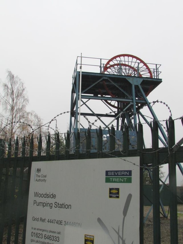
Mickley Seam drivage directly links to Woodside Coal Authority Pumping Station. The linkage to the Kilburn would have passed through the Denby workings and headed towards A Winning (to the north east) where the Coal Authority have another pumping station, but this would have been lost during the period of open caste coal extraction from the 1970s to 1990s, Thus all minewater travels to the southeast.
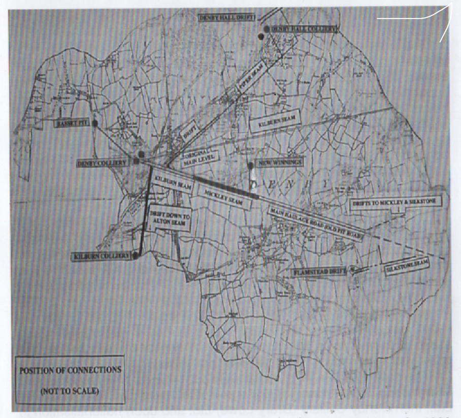
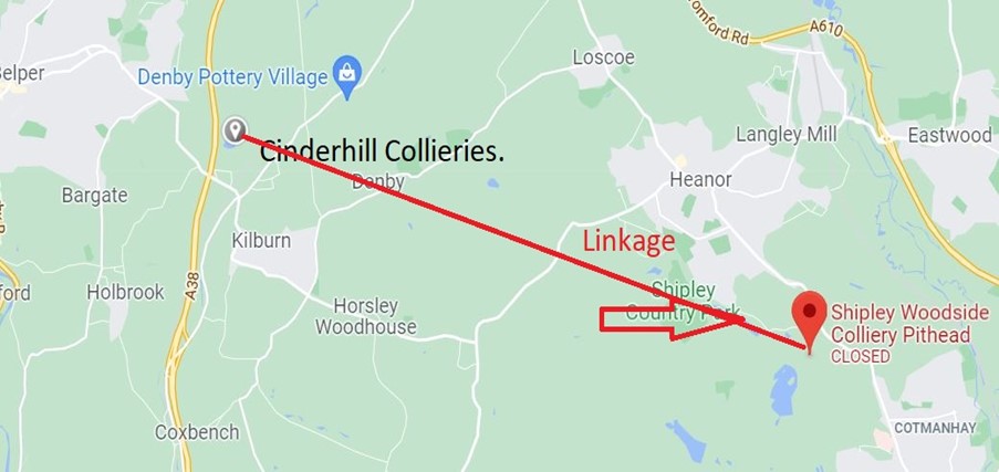
Any alteration in pumping at Woodside Pumping Station will in all likelihood be mirrored at the mines at Cinderhill. This will be most noticeable if pumped volumes decline as water is kept to a certain level within the shaft at the pumping station. Any shortfall is likely to be seen first at sites such as Cinderhill as this is the area of coal seam outcrop.
The findings in minewater seepage at Cinderhill may eventually develop continuous discharge flows if there are increased volume rain events that increase the need to dewater the mine systems locally.