Acigol, Salda and Burdur Lakes, southwestern Anatolia.
The Trust has been hearing stories of shrinking lakes across Turkey and we have been looking to achieve some understanding of the issues. Global warming and climate change being the main theories being put forward. Both are correct but cannot be held responsible for all that is going on.
Three lakes were chosen, they are separate catchments. Each is independent and have no linkages to discharge away from their individual closed systems. These make them microcosms that mirror the quality of the environments around each of them.

The photograph above was taken from space by NASA in 1996. Salda Lake is missing as out of the ‘frame’ and is to the southwest.
Lake Salda.
The lake is a mid sized crater lake.
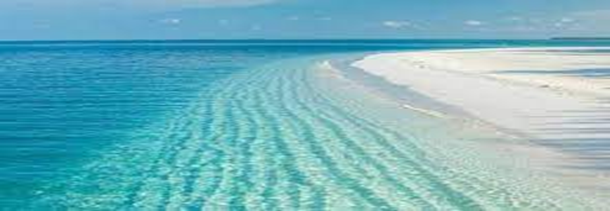
This is considered a natural treasure in Turkey, white sands, and turquoise water. In 2020/21 the Turkish government made the lake and more than 8,000 hectares of land around the waters edge and up the feeder stream valleys.
Over the last ten years more and more tourists have visited the lake, some have stayed on building shacks and unlicensed dwellings. Local people set up business with spar treatments offered, clays dredged from the lake bottom and salts and soaps imported to service the burgeoning number of customers’ needs. Mud treatments are highly valued and immensely popular in Turkey.
Alongside these new pressures on the lake’s water quality the surrounding farms and village discharge via soakaways from cesspits and pools, animal wastes, fertilisers, pesticides, and other compounds.
The swelling of tourist numbers (estimated as between 250,000 and 400,000) though has now been found to have tipped the balance and the beaches had to be closed in the summer of 2021. All shanty buildings, caravans and tents were removed by the local authorities in conjunction with central government, the spa treatments ceased, and an exclusion zone established. The protected area around the lakeside only allows swimmers (limited numbers): picnics, beach fires and even smoking on the shore being banned to protect the white sands.
The Turkish government has engaged with NGOs and academic institutes to research aspects of the biodiversity and ensuring that the area remains as near to what makes the site so important. There are plans being developed which will stop access to the sands and water for tourists whilst allowing visitors to view the area from raised viewing platforms from a distance. Farm and village drainage is also being assessed and there are plans to ensure such pollutions cease soon.
Even with the developing care being lavished on this body of water it is likely to shrink due to the drought that grips the country and global warming.

Google Earth Image 1984.
Lake Acigol.
Acigol Lake is a very different lake whose surface area varies greatly through the seasons, with 100 km² in spring and 35 km² in late summer, with a maximum depth of 1.63 m. it is also managed in an industrial manner. The lake is home to Turkey’s largest commercial sodium sulphate production operations which are based around the lake shore
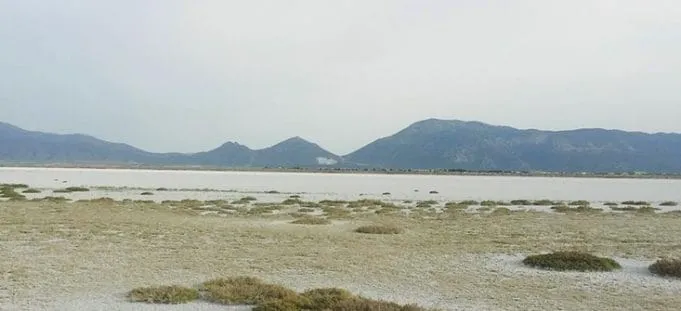
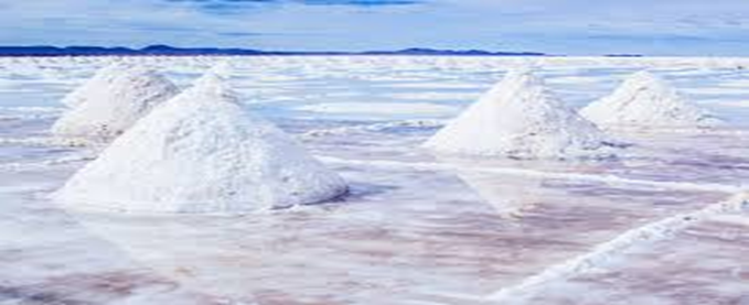
The lake water level is not just varying due to evaporation from the surface but affected by the sulphate industry which pumps water in huge quantities into evaporation beds. This methodology is a traditional and low cost, low energy production method but at the same time removing double, treble and even quadruple the volume of water lost annually within the lake.
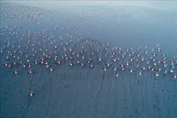
Acigol is an important RAMSA site as well as an industrial site. Wetlands that once surrounded the lake have nearly disappeared. It is also a good location to view flamingos who still nest along parts of the shore.
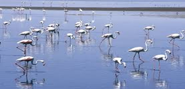
The shores of the lake are a destination of local tourism where people come to picnic and now birdwatch, a pastime that is growing in Turkey.

Google Earth 2021.
Lake Burdur.
Burdur lake is a large saline tectonic lake located between Burdur and Isparta and sits on the border of these two provinces. Increasing sedimentation (from catchment erosion), organic pollution (from food processing and Burdur City raw sewage waste), inorganic effluent (from a sulphur mine) represent long-term threats to the integrity of the lake. The water level has decreased from 1975 to the present due to construction of dams and ponds in the catchment basin, resulting in the loss of 27% of the lake area during the period of 27 years. Today the estimated lake area ranges between 140 km2 or 153 km2 depending on the season.


One of the most important wetlands in Turkey is around Burdur Lake. The water level of the Burdur Lake was around 150 metres deeper than today at the end of the last ice age. It has declined continually since that peak. Today the lake is shrinking with the lack of rainfall over recent years and increasing heat exacerbating evaporation. Even with these problems bird life, especially flamingos breed about its shores.