The River Nar
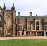
The River Nar has always had a fascination for me, a stream of my childhood and later I would take various friends; particularly girlfriends to paddle and picnic at a ford beneath the priory at Castle Acre. In my view one of the most civilised places on earth.
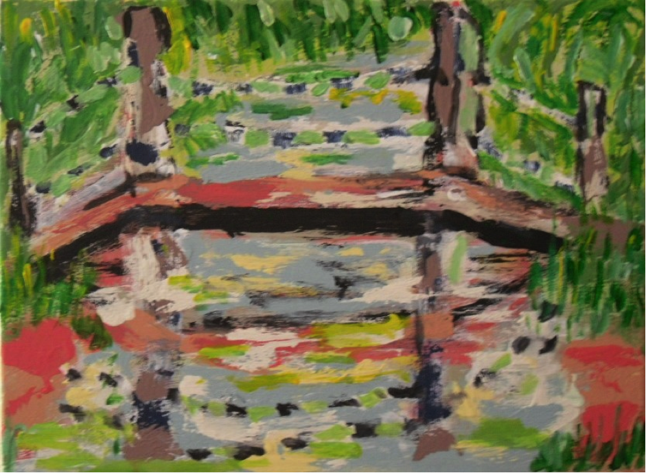
The river has much to recommend it; I remember being able to chill champaign by suspending bottles on strings attached to the footbridge into the flow beneath. At the time I was only aware that the river was cold; it is in reality one of the coldest rivers in England, a pure chalk stream and now protected by being designated a Sight of Special Scientific Interest.
The Nar is not a major river in that it is not long or has spectacular environs, it has though been a model river that has served its catchment for several thousands of years and still does. In this short paper the length of river described is primarily in its middle section either side of the old Roman route, Peddars Way. Though the villages of Castle Acre and West Acre are the focus, a short description is needed to set this short stretch in context and explain a mild infatuation with it.
The River Nar rises in the parish of Mileham as a group of springs emanating from the chalk uplands (a Norfolk euphemism for low hills) at 60 feet AOD and muddlingly flows east initially though then it changes direction going south and eventually taking its westerly route. Passing by Litcham. At Lexham it enters a series of lakes picking up water on route from West Lexham and Little Dunham, through Newton and then onto the Acres, South, West and Castle. The river goes on past Narford where it is crossed by a small single track road surrounded by anti-tank defences from the 1940s when this stream could have held up a German invasion force.
It then flows through Narborough and its watermills that used once to dominate the village. From this point it heads away from the big estates through which it has flowed and is now in the care of farmers and the Drainage Board that bears the valley’s name. it no longer has mossy banks well treed but runs, canalised along much of its route to and though the fens till it limps as more a drain, passing under the Kings Lynn Bypass, through the rejuvenated developments on the old West Norfolk Fertiliser Works and Kings Lynn Gas Works stumbling into the Great Ouse before it passes Lynn Docks and enters the Wash.
This state of the river has started to change; in 2011 the Environment Agency awarded the river the status of one of the most improved rivers in England, it sounds an accolade but it is a quite opposite recognition. Under European regulation and the Water Framework Directive a river is considered damaged by the works of human kind; canalisation, dredging, flood banking, locks for navigation and leats for mill streams. All are considered unnatural and undesirable. The Nar was considered the 7th most altered river in the country and was seen as almost equal to a polluted dead stream.
The World Wildlife Trust and the Norfolk Rivers Trust working with farmers and the generous financial support of Coca-Cola have started to redevelop a more natural river so it may develop more naturalistic river flows from Lexham to downstream of Narborough where the river meets the start of the fen.
The creation of meanders where once the river was little more than a straight drain. In future years these bends and riffles, sloping banks will bring great advantage to wildlife and land drainage.
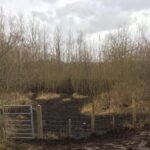
This creation of meanders has been only one of the cunning plans to benefit the river, between West Acre and Castle Acre, an estate managed stretch that has allowed the river to some extent reclaim its old paths naturally through the properties. The way of slowing the rivers flow was simple and has relied this year (2014) on the felling of trees along across the banks and across the water so that brash and water plants can build up across the stream and retain the maximum water volumes at times of highest flow. Along this already swampy stretch; home to snipe and woodcock, will benefit greatly and increase its conservation value further in allowing itself to become even more secluded. The work will also encourage a change in the flora to a more natural chalk stream cadre. These actions are designed to help limit silt run off from fields and many roads.
The Nar off the fen has always allowed itself to be used without major floods, it has been a river of navigation, a river of mills. It still has its waters impounded in lakes from Narborough fishing lakes (the flooded gravel pits and mill ponds) and upstream emulating past stew ponds that supplied the monastic houses at West Acre and Castle Acre, also at Lexham with their Friday fish.
The navigation started before the Romans came to tame and settle down with the Iceni, the river was then shallow with broad margins of reed and club mace, bur reed and willow, in places it still is, around Castle Acre and Newton. When the great priory church was built the limestone to face the western end was brought from France. It came from Caen to Kings Lynn docks and then transhipped to shallow draught craft that sailed or were towed upstream in spring and autumn when the water flow was right to deliver the heavy cargo right to my favourite spot beneath the priory site at Castle Acre which was then a wharf.
It is hard to comprehend the industry that was taking place those near thousand years ago whilst recently one has idled at the same spot watching dragon flies, hawking, damsel flies skimming, trout topping, and crayfish on the gravel bed trundling about their business.
This navigation carried on until it was usurped by the railways that crisscrossed the Nar Valley with halts along its course. Prior to that event there had been Parliamentary navigation acts passed as private members bills to dredge, straighten, create locks and sluices that both ensured enough water so river craft could float and safeguard millers’ rights to the weight of water enabling their mill stones to turn.
The river is not just considered as being over engineered; it has in over the last 100 years been impacted on by many inputs and exports from its hydrological regime. The Nar’s water quality is astounding when one considers the load of pollution the river has had to dilute.
Agriculture has historically damaged the water quality and its historic legacies as well as current fertilisers, nitrates and phosphates; weed and aphid killing chemicals all have had an impact that has been found not just in the river water but also in the regional groundwater. Today the government stipulates application methods alongside the manufacturers’ published methodologies of application; no spray zones around water courses are legally binding, nitrate sensitive zoning. There is though still seepage and runoff from the land.
Fish farming has been responsible for nitrates and phosphates from waste, unconsumed food, faeces and the chemical residues of anti-fungal and bacterial dosing that keep the fish stock healthy. Alongside fish farming the use of redundant gravel pits for angling and trout fisheries have similar effects on the natural water qualities that the enterprises are reliant on.
The sewage treatment of the populations’ sewage within the catchment, these include the sewage works owned by West Norfolk Borough Council which has always been a concern regarding its nutrient loadings in its discharge. The Ministry of Defence sewage facility at Marham RAF establishment was for many years an issue till works were carried out at the abandonment of Crown Immunity. The most common treatment of sewage in rural areas being cesspits and septic tanks have now been regulated but many rely still on soak aways that discharge to the local geology.
In research in the early 1990s the discharge point of the sewage treatment works at Castle Acre was a site rich in bloodworms and at times of the year there was evidence of sewage related fungi. Industrial liquid wastes were discharged to farmland at Chalk Farm on the Lynn Road outside Swaffham for many years but this practise has now ceased. Times have changed with upgraded treatment methods but the stresses are not, as already stated, not just what is added to the waters of the area.
The need to supply the local population with potable water supply requires abstraction from the chalk aquifer; Anglian Water has a major set of boreholes and raw water treatment works at Marham. The water abstracted required treatment to remove agricultural contaminants and other elements. The abstraction allied the innumerable agricultural abstractions across the catchment have put a high stress on the groundwater of the catchment with several feeder springs to the river, this being particularly evident at the headwaters above the Lexhams, drying up at times of low rainfall. This has the appearance of a bourne water regime more reminiscent to the South Downs and not a usual occurrence on the Nar.
The Future.
The work that is being undertaken by the Norfolk Rivers Trust, the Estates, the Internal Drainage Board gives hope for the future of the River Nar, the work being carried out and that which is planned is to give the flow a sustainable future; the fact that the widest cross section of the community of the area is consulted gives hope for the longevity of the schemes.