Stanford’s Geological Atlas of Great Britain and Ireland. Edited by H B Woodward, Fourth Edition 1913.
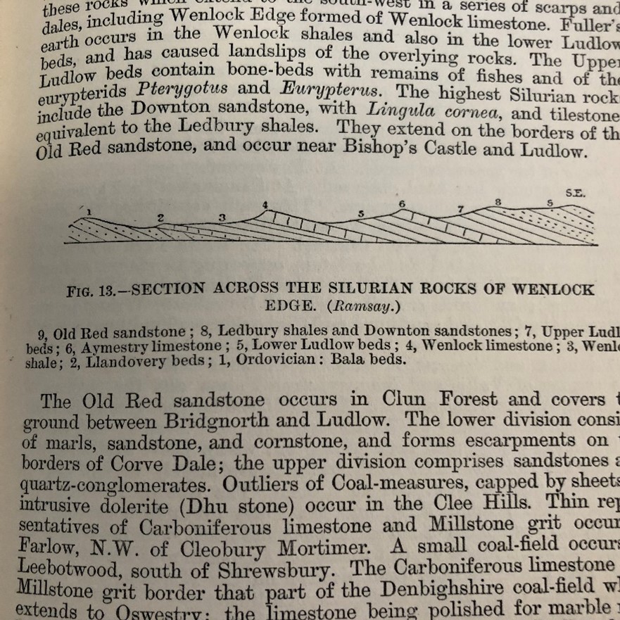
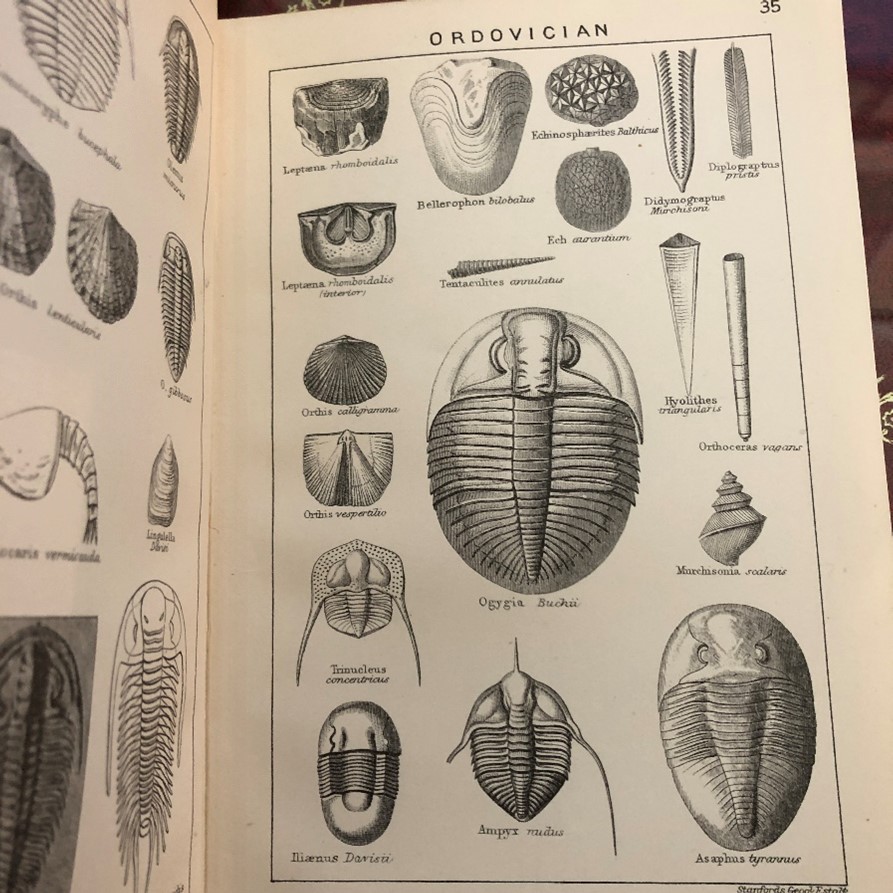
This is one of the first books I refer to when looking at a new project. Every county is mapped in colour and there is a lot of extraneous material in the text that is useful. There are engravings of fossils, and small sections of landscape that are there to explain the landscapes, odd engravings of sites of interest. There are descriptions of geological aspects of train journeys that can be viewed from your carriage. Many of these journeys can no longer be taken due to the rail closures of the 1960s, but this is living history.
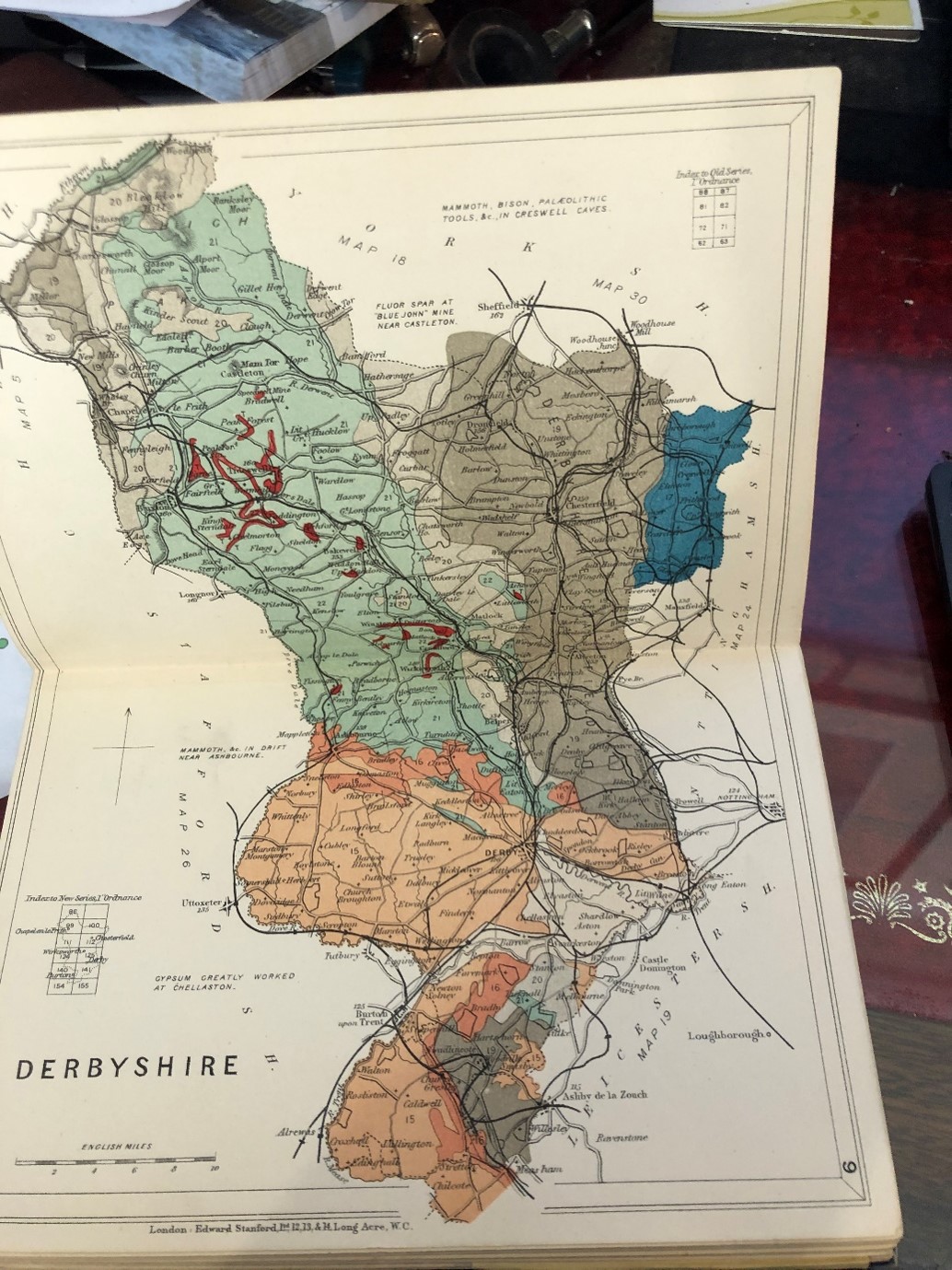
My copy is well thumbed and has its spine held together with sticky tape. It is fun to read and would recommend it to be taken on staycations as well as used for work. Remarkably Amazon are well stocked with many different versions of this book in reprint format, though some do not have copies of the maps in colour. The real thing might be found at Abe Books online.