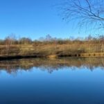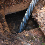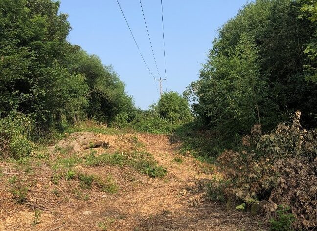
Close by our research site in Derbyshire Western Power Distribution has been clearing trees and vegetation from beneath power lines. This rather drastic clearance has uncovered some interesting features within the landscape which were hidden by the vegetation prior to the cut back of trees and undergrowth
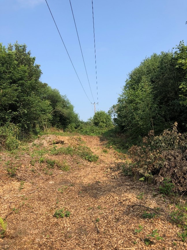
Minewater Seep.
Minewater has one tell-tale sign that one recognises the world over, a rusty coloured residue of iron hydroxide and known as ochre. In certain places it stains rivers and streams red, the hydroxide coming out of solution and its particulates coating the floor of the waterway. This coating killing off most aquatic life or removing the prime invertebrate food sources of fish, forcing them to move up or down stream or starve and die.

In this instance it is a pooling of minewater that appears to be leaving a shaft in the area. The way the pool of ferruginous water is set suggests the shaft is adjacent to the newly cutback vegetation. The Coal Authority interactive map of mine entry locations put one such shaft location in approximately this position. It is known that several shallow coal mines were sunk in the 18th Century in the area. The finding of ochre suggests that the shaft is leaking at the surface and is not properly capped. Anecdotal evidence from a person who worked in the quarry that used the land in the 1960s and 1970s states that other shafts were capped off with rough timber just to the east of this site.
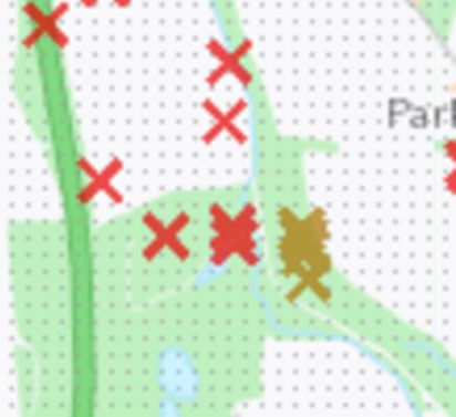
The iron hydroxide is not heavily staining and would appear to be fresh, and still damp which would suggest that the area has recently been inundated and has dried out over the last ten days since the last significant rainfall. The coal strata are interbedded with grit/sandstones running from outcrops just to the west of the site. The precipitation prior to the present dry spell was heavy so suggesting the coal workings have filled up with water and spilt out over the area around the shaft top. There is a strong likelihood that the shaft here is linked to the two shafts just to the east and the drifts to the east of them across the tram road.
It has not been possible to investigate the other shafts to ascertain any leakage or spillage in their vicinity as yet. This will be carried out shortly. There is no know history of minewater topping shafts in this area which is ‘controlled’ by pumping stations at both ‘A’ Winning and Woodside. It is though known that these working are being pumped to their maximum permitted environmental consent so protecting the more westerly parts of the coalfield from rebounding either in the Cossall or Redford areas.
The ochre deposits are light in quantity which might suggest that the overtopping here is a rare occurrence, and the limited amount of ochre staining bears this hypothesis out. The period for rainwater percolating through the strata to eventually be discharged in this location would be short and this drainage water within the upper mine workings would be even shorter.
The drawing below shows a sketch plan of the sump and ditch remnants on the site. This area prior to the 1970s had been small hay meadows separated by ditches and hedges. The research site fencing opposite the mine water seep is now exposed.

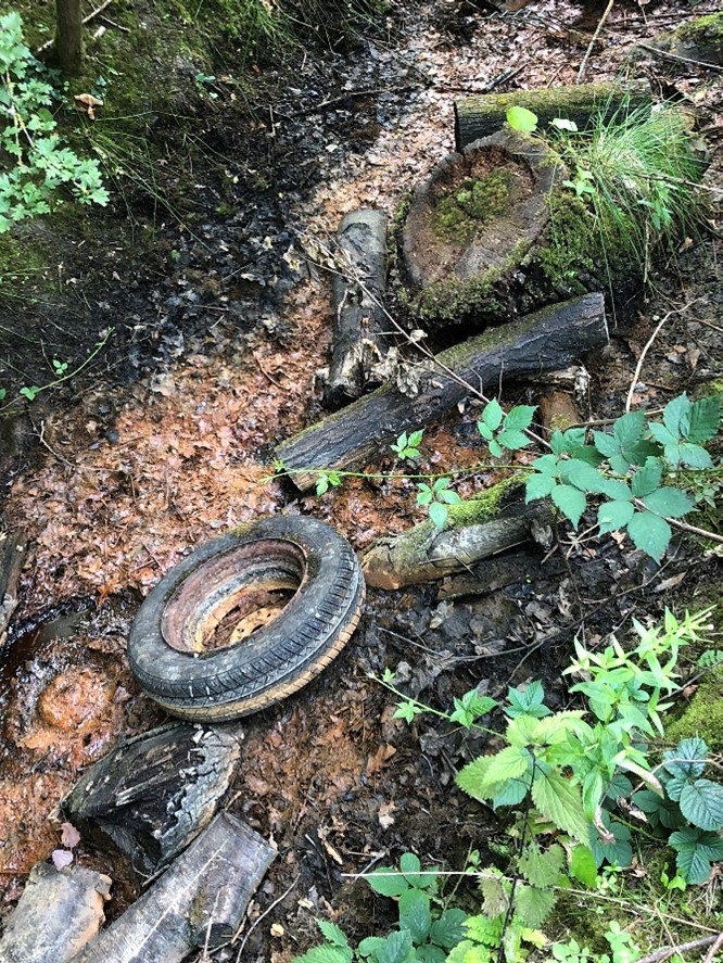
The picture below demonstrates the sad state of much of the site around the mineshaft area. The old car wheal being one remnant of many from when cars were deliberately burnt on the tar pit which is now our research site. There are several rusted hulks scattered about the area as well as one nearly totally entombed in the acid tar lagoon.
Now this site has been recorded it will be monitored regularly to ensure that no unwanted pollution escapes this sump area and enter a tributary of the Bottle Brook. It will be shown to the local authority and the Environment Agency when they next visit our research site.