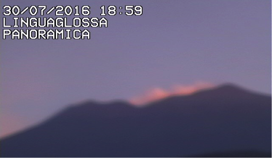
This July / August (2016) a visit to the Mount Etna region of Sicily and watched the mountain steam which was a mesmerising sight.
Mount Etna is the largest and most active of the volcanos in mainland Europe, at the same time one of the most agriculturally important and utilised parts of the island of Sicily which is itself the largest Mediterranean island.
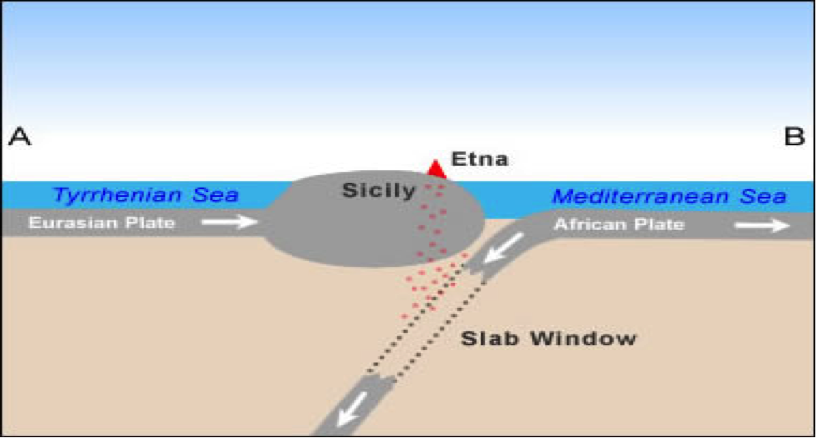
The geological setting of Sicily: at the edge of the Eurasian plate which is riding up over that of the Mediterranean section of the African. This subduction area moves relentlessly and as it does the pressure ensures the volcano acts as a pressure valve releasing through its several vents gasses, steam and magma. Not often cataclysmic, but these regular eruptions still void millions of cubic metres of discharge brought about by this constant collision. This continental crash has a remarkable effect within the subduction zone on water, the hydrogeological complexity is phenomenal with both deep aquafers being driven towards the surface and their contents being superheated and, under pressure, being forced through the overlying geological matrix, fracturing major sections of the overlying basalt of the mountain forming both shallow aquifers and a spring line between the country rock and the volcanic layers. The main solidified layers of the volcanic structures are highly porous making the mountain like a vast sponge that allows no rain runoff during the rains of winter or snow melt water to escape in the spring, all such surface water being absorbed into the rock and further feeding the spring line.

The two rivers of Alcantara and Simeto rise in the limestone west of Etna in hills towards Sicily’s northern coast the former flowing to the east and the latter south and east. The climactic conditions affect the base flows of both rivers making them behave similarly to those found in southern England along the seaward aspect of the South Downs. In the UK as in Sicily the winter headwaters of these two rivers are higher up their valleys whilst in summer the source slips down valley, leaving the winter flowing sections to dry up. (In the UK such river are known as bourne rivers.) These two rivers are similar to all the other rivers of the island in their nature and hydrological flow patterns which would be almost entirely dry during the summer draughts without the spring lines of the volcano that allow the two rivers to flow freely from their conjunctions.
The waters emanating from Mount Etna allow high volumes of water to be abstracted to raise crops, cereals, vines, citrus fruits, olives and vegetables in the highly fertile soils that is composed of the weathered rock produced from deep below the surface and then expelled sometimes slowly and at others at high velocity. . This fertility makes for the land of high value even though the risk of inundation by fresh lava flows is ever present. The landscape near the summit being that of a lunar character but on the lower slopes becomes quickly verdant with small landholdings, green with crops interspersed with laver flows.
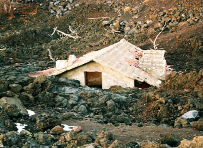
There are several farm houses that are partially covered or seriously affected by the larver if not totally inundated and covered, removed from the landscape which itself changes year on year.
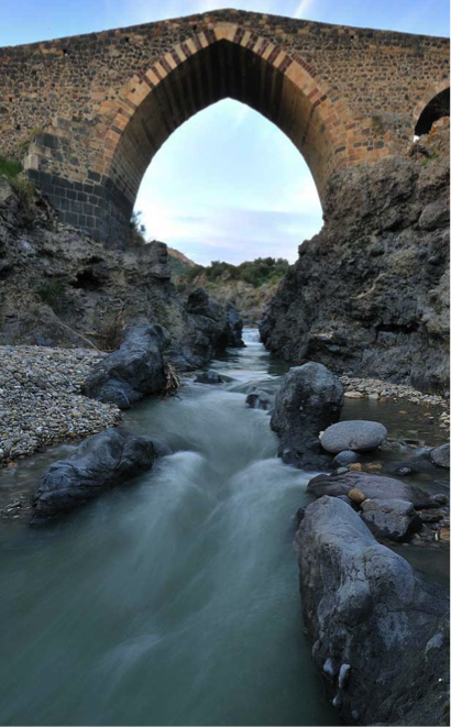
The nature of rocks of Etna have been exploited both architecturally and logistically by all those cultures that have run the island: Greeks, Romans, Normans, Arabs, French, Spanish and Italian. The Arabs have used the availability of basalt to decorate bridges and mosques (now usually cathedrals), buildings built of volcano derived lava bombs and quarried basalt, roads paved with basalt, long lived and so heavy they are unlikely be wrenched from the street and thrown at the police during street demonstration.