Background.
The discharge from the Tip at Commonside in Cheshire is notorious for its seeping of PCBs into the water environment, the streams that are fed flow into the Weaver catchment.
The site has been the cause of concern for local people for more than 45 years and for the present council since its foundation. The previous councils had similar concerns, and both have over the last 25 years been looking for ways to remove the pollution from the site. In the 1990s the National Rivers Authority prosecuted the site owner who was fined but was excused the need to clean up the site as it would be excessively costly by the judge.
There have been requests for the site to be classified as an II(a) contaminated land site, but the present council, Cheshire West and Chester Council have resisted the temptation as it would effectively sideline them from future activity as the Environment Agency would be the lead agency.
The local councillor for the site and villages close by has asked us to find a sustainable solution to the site. We are known to the Environment Section of the Council and have a good rapport with them.
The purpose of our involvement is to see the site remediated using sustainable methodologies. One method alone is unlikely to work satisfactorily. A combination of methodologies would make for an ideal solution.
The Site.
The site was in operation for around 10 years until it was closed by the local authority at the time. It is unlined and has to fill plan.
The site was a shallow valley that received around 5 to 7 metres of fill at its deepest points. Historic fill information is anecdotal and what might be surmised from analysis of leachate. Illegal waste activity has been noted on the site since the site was closed, it has also periodically been used for a residential caravan and waste transfer, neither use was sanctioned by the local authority.
There is a spring somewhere beneath the site which to some degree is masked by the flow of water from a pond that is piped to the top of the field to avoid flooding of the road adjacent to the landfill site.
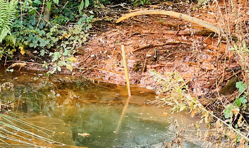
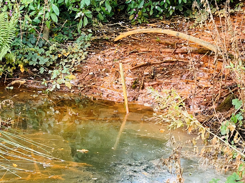
At the bottom end of the site where leachate enters the local stream system the smell of hydrocarbons and other waste is strong. Gas monitoring will be carried out during all activities close to the site.
The site has been inspected from its edges on two occasions so far, no actual surface inspection as yet at the request of the council. Water and sediment samples from the leachate leaving the site and at the point where the leachate meets the stream headwaters have been taken and sent for analysis.
The site has no impediments to remedial work crossing its boundaries. The site access and ownership are being investigated by the local authority.
Risks.
Ther risks of working around this site will need an agreed risk assessment that satisfies both the local authority and the Environment Agency, if they wish to be involved at this early stage.
Issues include known PCBs, hydrocarbons, odour. Unknow as yet: ground conditions, uneven or unstable ground, ground movement downhill or spreading, marsh or uncovered waste/illegal post operational dumping.
Geology.
The site has had several sets of boreholes placed around its periphery from 1979 through to the early 2000s. The 1979 1980 boreholes are recorded at the National Borehole Record at the British Geological Survey as they should be. The later boreholes were not. (Many consultants fail to do so as it is unremunerated work for them.) All the boreholes are said to have been lost but a survey of known locations with a metal detector may find some in hedge bottoms that might still be accessible. Even if they are lost the records from 1979/80 give a full understanding of the geology in which the site is set.
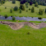
The bore borehole marked on the Google Earth plan below was sunk to a death of 46.5 metres down to the sandstone.
Sand and clay 6.0 metres
Boulder clay 40.5 metres
Water rest level was 7 metres in January 1980.
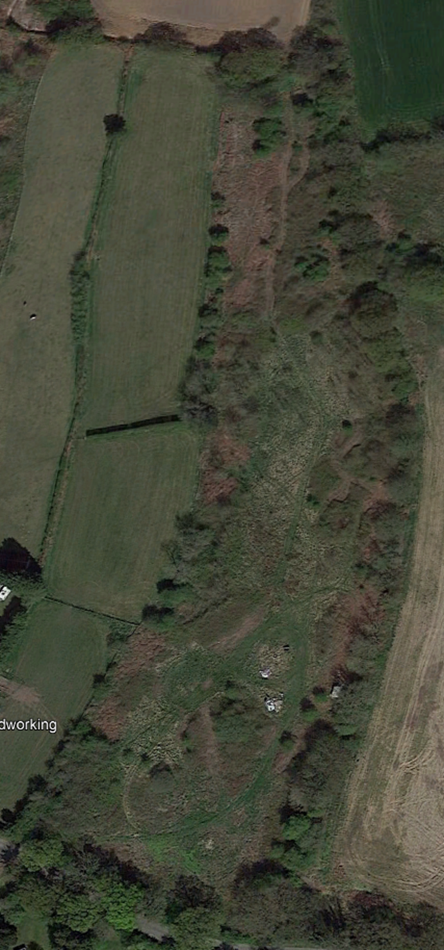
Google Earth.
The slope of the original field, which was not engineered in any way allows precipitation, spring and imported surface water drainage which mixes with the tip drainage to flow into neighbouring land just metres to the west of the borehole described earlier..
Samples.
Samples of both water and soil sediments have been analysed and now the results are being considered. The problems of the site are not just PCBs but metal in unusually high loadings and
Going Forward.
The Trust is investigating the site, its history, fill and any other information. We are presently considering a two-part approach to the remediate of the site using a combination of forced irrigation of enzymes and bacteria across the site to allow the more complex chemical aspects to be neutralised quickly, whilst controlling the metals using bacteria already present on site. These may be brought into play using compost and tree planting. The roots of the trees taking bacteria down into the soils and waste material to break down or otherwise neutralise contaminants.
The Trust has many years of experience in the development of and successful use of methods of phytoremediation. The break down and/or neutralisation of both organic and inorganic materials together has been demonstrated to work well. The importance of sustainable methods that neither put the local population or nature at risk are paramount. Such methodologies require time to achieve the desired effects of cleaning the site, but the costs are far less and remove the concerns of the local community.